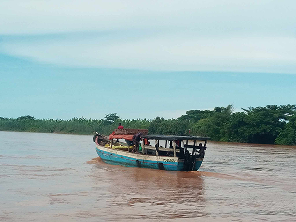
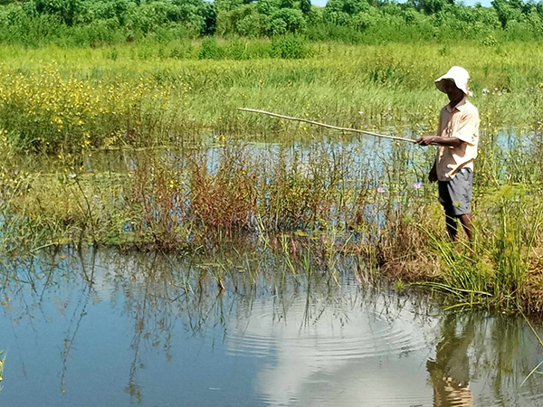
Mitsinjo is a town in western Madagascar. It has a Ramsar Site, Kinkony Lake, that straddles the municipality of Mitsinjo in its western part and that of Antseza in its eastern part. It is under the administration of these two communes. It is one of the key habitats for biodiversity of the Mahavavy – Kinkony Wetlands Complex (MKC), and is the second largest lake on the island and eighth Ramsar Site in Madagascar. The bases of the activities of the communities around Kinkony Lake are fishing and rice farming.
Kinkony Lake is part of the new protected area of the Mahavavy-Kinkony Complex, created by a final protection decree in 2015. The Mahavavy-Kinkony Complex Protected Area is in category V with a type of shared management or co-management. The site has a development plan with a management plan. The activities carried out on the site are recorded in this development plan (Asity Madagascar 2018).
Current management of the CMK site: the management of the site is provided by Asity Madagascar in collaboration with the Marambitsy Miahy ny Zava-boahary (MMZ) management platform as co-manager.
They support the systematic conservation and management of the MKC PA and contribute significantly to building local skills and expertise necessary for effective conservation and wise use of Ramsar sites.
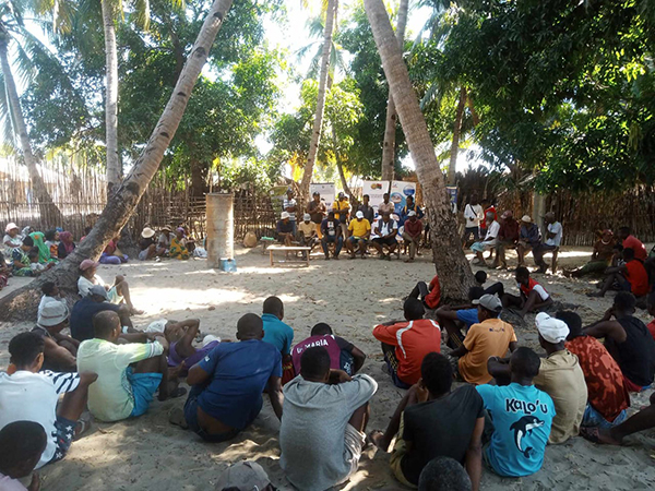
This local platform (MMZ) is made up of members who are the main actors in wetlands representing the public and private sectors which include the mayor, the presidents of local associations and the technical services of the District of Mitsinjo.
The management of part of the lake, in particular the Makary marsh area, is ensured by the local populations grouped in an association called Vorofaly (Malagasy vernacular name of the species of bird (Zapornia olivieri). this community group has obtained officially the management of this site through the transfer of management of renewable natural resources in 2009 (renewed 10 years in 2016). the objective is the sustainable management of the resources of the lake and marshes in the area of Makary.
Makary is part of the conservation area of this community. The management is characterized particularly by the establishment of DINA for the use of marshes and the regulation of fishing (respect of the period of closure of fishing and the use of ‘regulatory fishing equipment).
The Antrema protected area has a social organization that guarantees the conservation and preservation of biological diversity. In each village there is a local security committee. In addition, Antrema still has an Ampanjaka, a form of local administrative authority respected by every member of the community. There is also an association dedicated to the protection of the forest called “Vaomieran’ny Ala or VNA” which means forest committee. These important features facilitate and make efficient and effective conservation efforts at the site. The Sakalavas of Antrema are born conservatives. They have a fundamental respect for nature, reflected in taboos and prohibitions.
The Antrema Site Development and Management Plan document stipulates the consideration of the following elements: control of illegal logging, fire control and other risks. This plan integrates the human dimension and aims at the development of neighboring communities. Technical support is provided by the site promoter to cover losses on the prohibition or restriction of access to natural resource.