A good environment will stimulate good economic growth, not vice versa. For this reason, policies and strategies of Surabaya City were developed to improve Green Open Space through strict supervision of development directions, the establishment of protected areas, conversion of built areas into Green Open Space, as well as the construction of many parks, reservoirs/boezem and urban forests.
The use of space in the Surabaya City, like other cities in Indonesia, is regulated through the City Spatial Plan which has to be agreed by City Government and City Parliament. According to the City Regulation No. 12 of 2014, the spatial plan for Surabaya City is covering the period of 2014 – 2034. During this period, any changes to the document need to be stated on writing document agreed by both parties.
The following information is the reflection of the Regulation related to the consideration of importance wetlands as element of spatial planning and integrated city management:
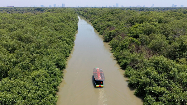
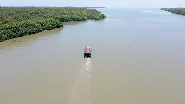
East Coast of Surabaya, includes Gunung Anyar, Rungkut, Sukolilo and Mulyorejo Sub-Districts
The total area mangrove in East Coast of Surabaya is around 2,500 ha. with the average width of 240 meters.
In accordance to the Spatial Planning document, the East Coast Region of Surabaya is designated as a strategic area, a natural protected area which is dominated by mangrove vegetation.
Pamurbaya mangrove areas play an important role in maintaining the balance of coastal ecosystems and have an important ecological role as a natural barrier to the process of abrasion and sea water intrusion.
The management of the East Coast of Surabaya City designated for research and development of biological and hydrological science, restrictions on land use, construction of artificial canals as boundaries and development of coastal eco-tourism as well as restoration area.
Over the last five years there has been an increase in the density of mangroves in the Surabaya East Coast region, ranging from Good – Medium (1000 – 1500trees/ha) to Good – Very Solid (> 1500 trees/ha).
As the primary conservation effort of the government of Surabaya City in the East Coast region is the establishment of Mangrove Botanic Garden, stretched along the Mulyorejo coastline to Mount Anyar. The establishment of mangrove botanic garden justified by the Mayor Decree in 2018, based on the recommendation of Indonesia Institute of Science. In connection with this flood prone area, efforts to manage flood prone areas are carried out by:
Providing fast and safe evacuation routes in flood prone areas;
Developing a sea sluice system in the sea water crossing area;
Developing an early warning system in flood-prone areas;
Utilizing mangrove / mangrove plants as current suppressors to overcome the problem of flooding in coastal areas; and
Encourage community participation and active role in flood prevention and mitigation.
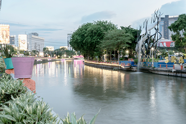
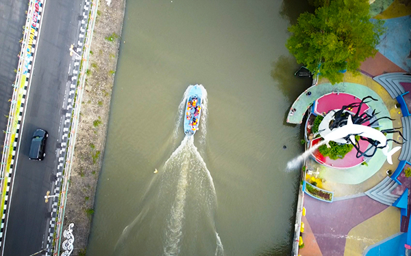
Reservoir/Boezem
On the Surabaya City Mid-term Regional Development Plan 2016-2021, the area of inundation is targeted to decrease from 1257 ha in 2016 to 500 ha in 2021. Policies developed through the integrated drainage system development (maximizing the function of reservoirs/boezem and green open spaces);
The number of reservoirs/boezem in the city of Surabaya continues to increase, 2017: 36 locations; 2018: 64 locations; 2019: 70 locations. This strategy proved to be effective, the area of inundation in the city of Surabaya fell to 697 Ha in 2018.