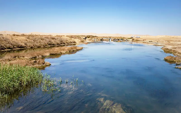
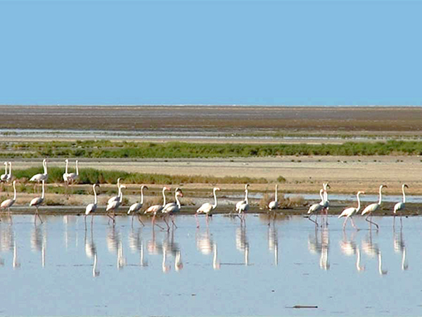
Situated at the end of the Zayandeh-Rud watershed basin, the International Gavkhouni Wetland finds its place in the Gavkhouni sub-basin. Formed during the third geological era, this wetland stands as the only permanent saltwater lake in Central Plateau, placed right in the heart of the desert.
When we look at the broad hydrological division of Iran, the Gavkhouni watershed basin is part of Iran’s Central Plateau Basin. Its surroundings include the Lake Namak watershed basin to the north, Daq-e-Sorkh and Kavir-e-Siyah Kuh basins to the east, Abarkuh Desert basin to the south, and the Karun watershed basin to the west and southwest.
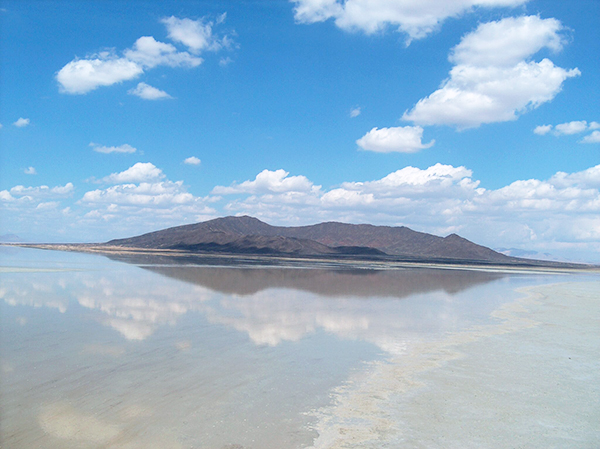
Registered in the Ramsar Convention in 1975, the International Gavkhouni Wetland is amongst famous natural and international wetlands. It lies in the southeastern part of the basin, approximately 140 kilometers southeast of Isfahan (via the Isfahan, Ziār, Āzhīyeh, Varzaneh, wetland route) and 30 kilometers from the city of Varzaneh. Its height is 1,470 meters above sea level.
The size of the wetland depends on the amount of incoming water. In recent years, with surface waters, especially from the Zayandeh-Rud River, being largely cut off, the wetland’s expanse has shrunk. As per the recent water management study reports, the area of the International Gavkhouni Wetland is recorded as 45,000 ha.
Most of the waterways leading to the wetland come from the south and southeast. These waterways and streams, influenced by the occasional floods in the area, can play a significant role in providing the necessary water for the wetland. They particularly support the wetland ecosystem, as well as the habitats of birds and animals in this region.
The International Gavkhouni Wetland holds multiple functionalities and values. It plays a pivotal role in supporting biodiversity, offering picturesque landscapes, filling underground water tables, regulating the climate, reducing pollutants, preventing the formation of dust sources, controlling wind erosion, and facilitating carbon sequestration.
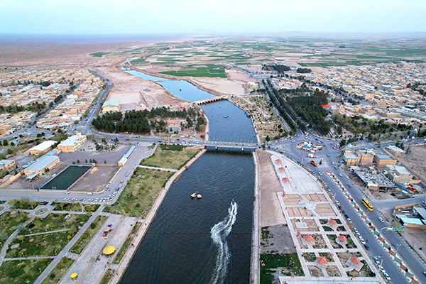
Varzaneh is 105 km southeast of Isfahan and 240 km from Yazd. The area of this city is more than 23,000 square kilometers, which is located at an altitude of 1,477 meters above sea level. Its climate is desert and completely dry, so that in July its temperature reaches 40 degrees Celsius. Temperatures sometimes drop below zero after midnight in January and February.
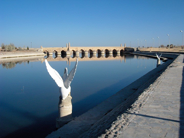
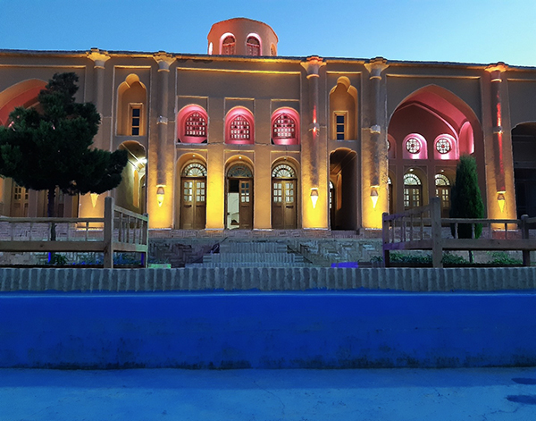
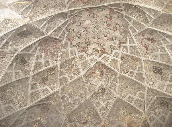
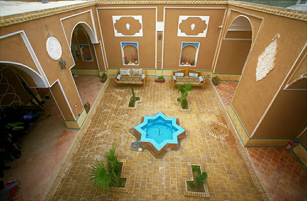
Varzaneh has identified with three main factor first Gavkhouni as a wetland in last of Zayandeh-roud river in the center of Iran plateau and second traditional culture with white hijab and traditional building and last the job of people occupied in agriculture.