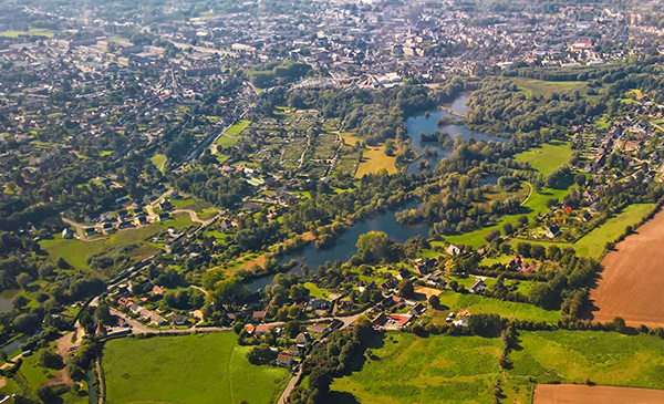
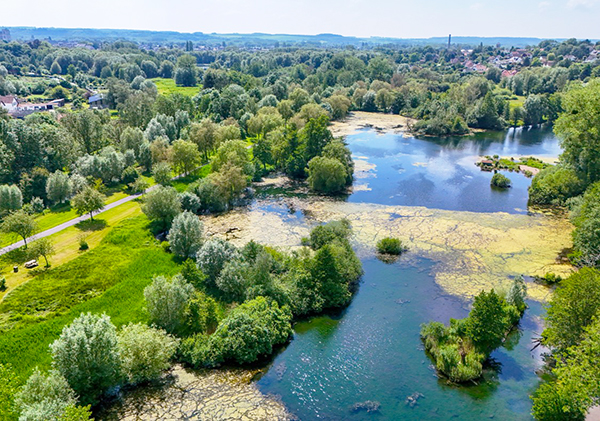
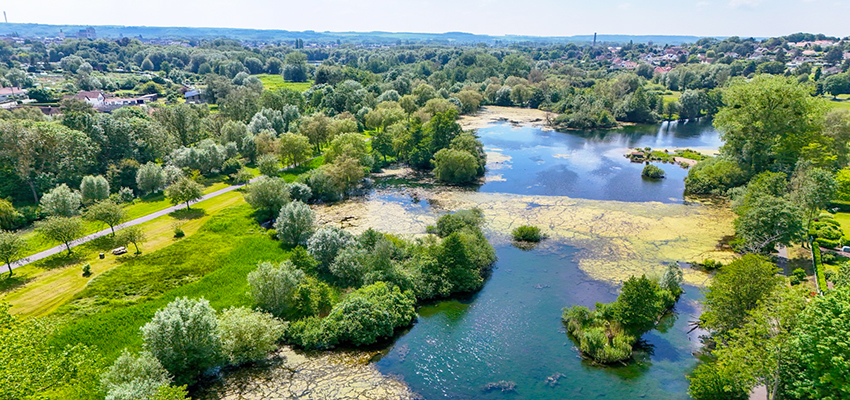
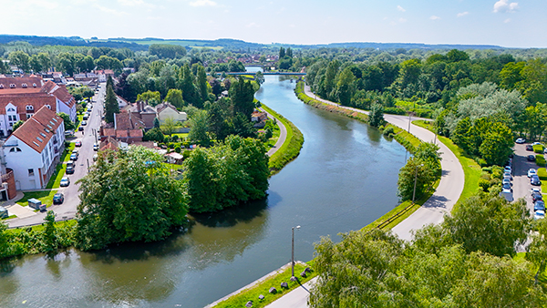
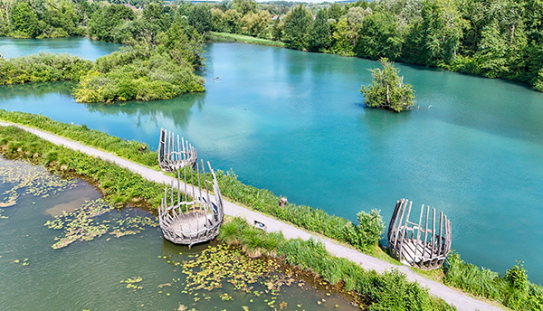
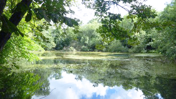
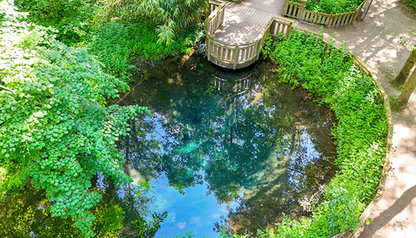
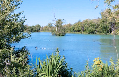
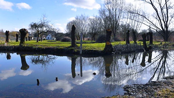
The town of Abbeville lies at the crossroads between the Ramsar sites of the Bay of Somme and the Marshes and Peatlands of the Somme and Avre Valleys. It developed at the confluence of the Scardon and Somme rivers. Its history is marked by the presence of water and wetlands. Thirty percent of the town’s surface area is wetlands, divided into four sectors: Bouvaque, Saint-Gilles, Rouvroy, and the former sugar basins.
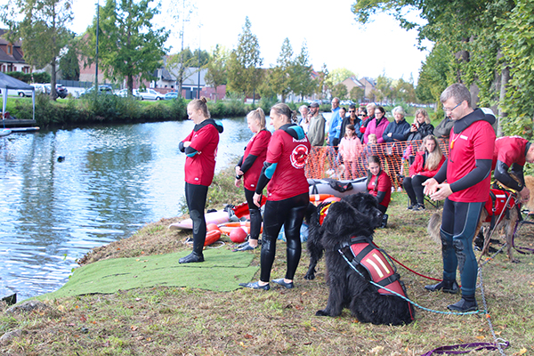
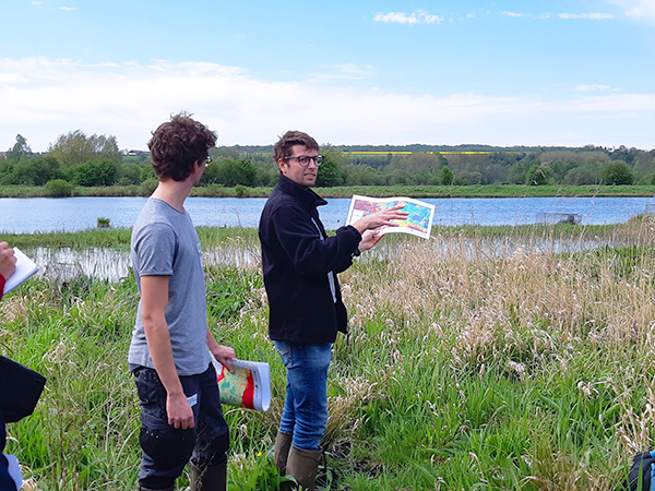
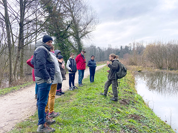
The dramatic floods of 2001 prompted the town to better integrate its wetlands into its planning documents. For several years now, Abbeville has been fully committed to the restoration and enhancement of its natural heritage, particularly its wetlands. The city works closely with local stakeholders to preserve these exceptional environments, as part of an ambitious action plan that aims to promote wetlands and raise awareness and welcome the public, manage water resources and their quality, and improve scientific knowledge on the functioning of its wetlands and their preservation; over the six years of the “City of Wetlands” label.
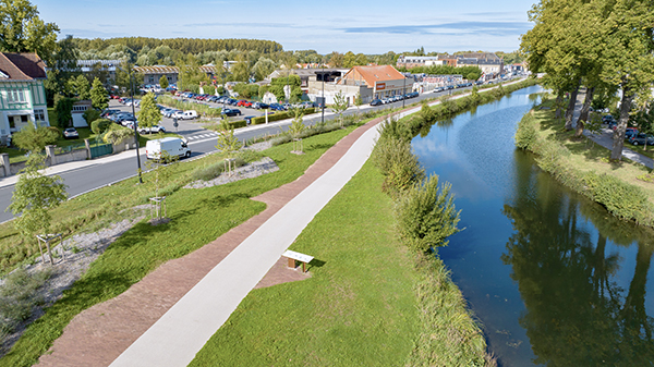
Abbeville’s wetlands are taken into account in the city’s main planning documents. Abbeville’s Intermunicipal Local Urban Plan aims to prevent the development of flood-prone areas or areas with ecological implications. The Flood Risk Prevention Plan takes into account the role of the municipality’s wetlands as water reservoirs and water supplies. The stormwater management plan lists wetlands as buffer zones for filtering stormwater.
Abbeville’s main wetland areas are the subject of scientific monitoring, management plans, and restoration/maintenance operations aimed at optimizing wetland functionality, enabling them to provide the ecosystem services they are known for. These actions are included in an action plan for the period 2025-2030, which includes wetland preservation and restoration.