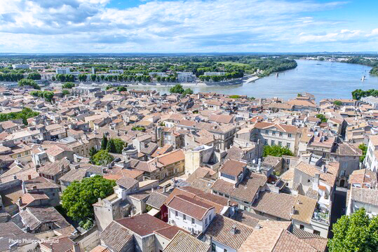
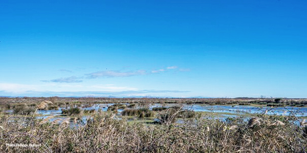
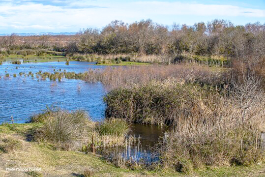
The city of Arles is the gateway to the Camargue. Founded in ancient times, its landscape is the result of centuries of human activity and the flooding of the Rhône River. The Camargue is home to several communities—farmers, salt workers, and artisans—who coexist and share the challenge of preserving this vast wetland, which provides numerous ecosystem services on which their activities depend. The worldwide renown of Crau hay and Camargue bulls attests to the link between environmental management and traditional agricultural activity.
The preservation of natural environments also contributes to the attractiveness and tourism development of the region. This diversity of stakeholders and activities has enabled the preservation of wetlands for decades. And in the face of the challenges of climate change, a joint approach to maintaining these wetlands is more necessary than ever.
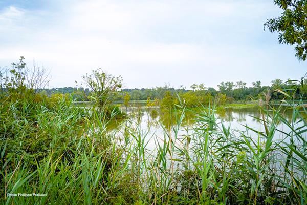
Wetland preservation is enshrined in all planning documents (urban planning, water, land use, etc.) applicable to the city of Arles. The guidelines of the Local Urban Plan (PLU), in accordance with the Camargue Regional Natural Park charter, certify, for example, that wetlands take priority over urban development. All construction is prohibited and safeguard measures are enacted, especially since the Coastal Law applies throughout the municipal territory.
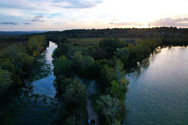
Highly exposed to the risk of flooding, the city has integrated its wetlands into its Flood Risk Prevention Program (PPRi), which provides for the development of a flood expansion zone in the Vigueirat marshes area. The city’s Sustainable Development and Planning Plan also contains several objectives related to wetlands and sound water management.